Derived GeoData (SDSU)
- Normalized Burn Ratio Index from EO-1 ALI (30m) this morning (10/26)
 NBR_ALI_1026.zip (29mb Tiff) NBR_ALI_10262007.zip (4mb Jpg)

Geodata
- SANDAG GIS Data http://www.sandag.cog.ca.us/index.asp?subclassid=100&fuseaction=home.subclasshome
- SANGIS GIS Data Warehouse http://www.sangis.org/Download_GIS_Data.htm
- California Spatial Information Library CASIL http://gis.ca.gov/index.epl
Satellite Images and Aerial Photos
- MODIS Rapidfire USA5 Subsets http://rapidfire.sci.gsfc.nasa.gov/subsets/?USA5
- Thermal Aerial Photos of Fire affected Areas http://www.fireimaging.com/homepage.html
- NASA's collection of Southern California fires images - includes Infrared aerial photos from Ikhana (unmanned research aircraft) http://www.nasa.gov/vision/earth/lookingatearth/socal_wildfires_oct07.html
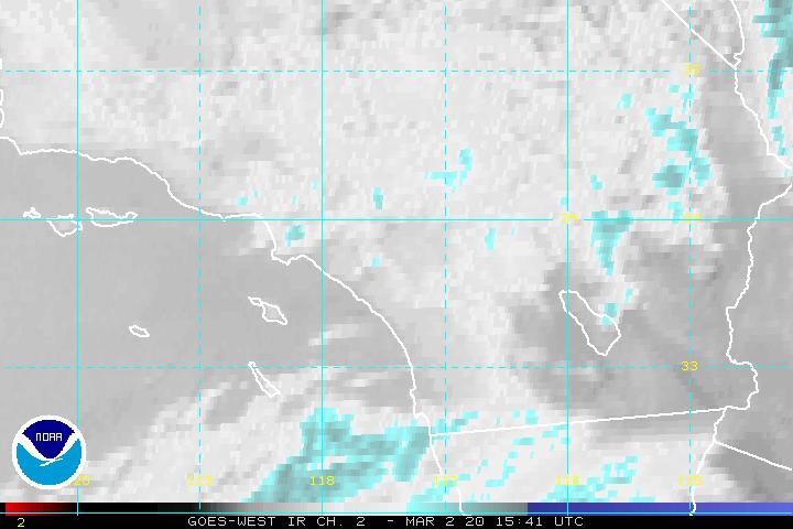
- GOES WEST satellite - Fire TOM IR Ch 2 - http://www.ssd.noaa.gov/goes/west/wfo/sgx/ir2-l.jpg
- GOES WEST - animation of GOES data http://www.osei.noaa.gov/Events/Current/CaliforniaFire.gif
- AIRS - Atmospheric Infrared Sounder from MODIS Aqua showing smoke plumes - http://photojournal.jpl.nasa.gov/catalog/PIA10088
- SSD _Satellite Services Division - for Oct 24, 2007 - Smoke plume outside of So Cal. http://www.firedetect.noaa.gov/viewer.htm
- Over 1,500 low altitude high resolution color aerial photographs taken shortly after the fires. http://edcftp.cr.usgs.gov/pub//data/disaster/EM_3279_CA_FIRE/compressed_med_quality/AERIAL_USGS/
Web Services
- geocoded destroyed houses listing in Rancho Bernardo (Comma delimeted Python script)